For decades, Arctic snow records have helped scientists understand climate patterns, seasonal cycles, and long-term environmental changes in the northern polar regions. These datasets, some of which date back more than 60 years, have played a major role in shaping climate research and forecasting models.
However, recent studies are prompting researchers to reconsider how some of this historical data was collected and interpreted. Advances in technology, improved satellite observations, and new analytical methods are revealing that parts of the Arctic snow record may not be as precise as previously believed.
This reassessment does not invalidate decades of research, but it highlights the importance of refining scientific measurements as technology evolves.
Why Arctic Snow Data Matters
Snow cover in the Arctic plays a critical role in Earth’s climate system. Snow reflects a large portion of incoming sunlight back into space, helping regulate global temperatures. This reflective ability, known as albedo, makes snow an important factor in maintaining the balance of energy on the planet.
Changes in snow depth, coverage, and seasonal duration can influence everything from ocean temperatures to weather patterns across the Northern Hemisphere.
Because of this, scientists closely track Arctic snow to better understand how climate conditions are shifting over time.
The Origins of Long-Term Snow Records
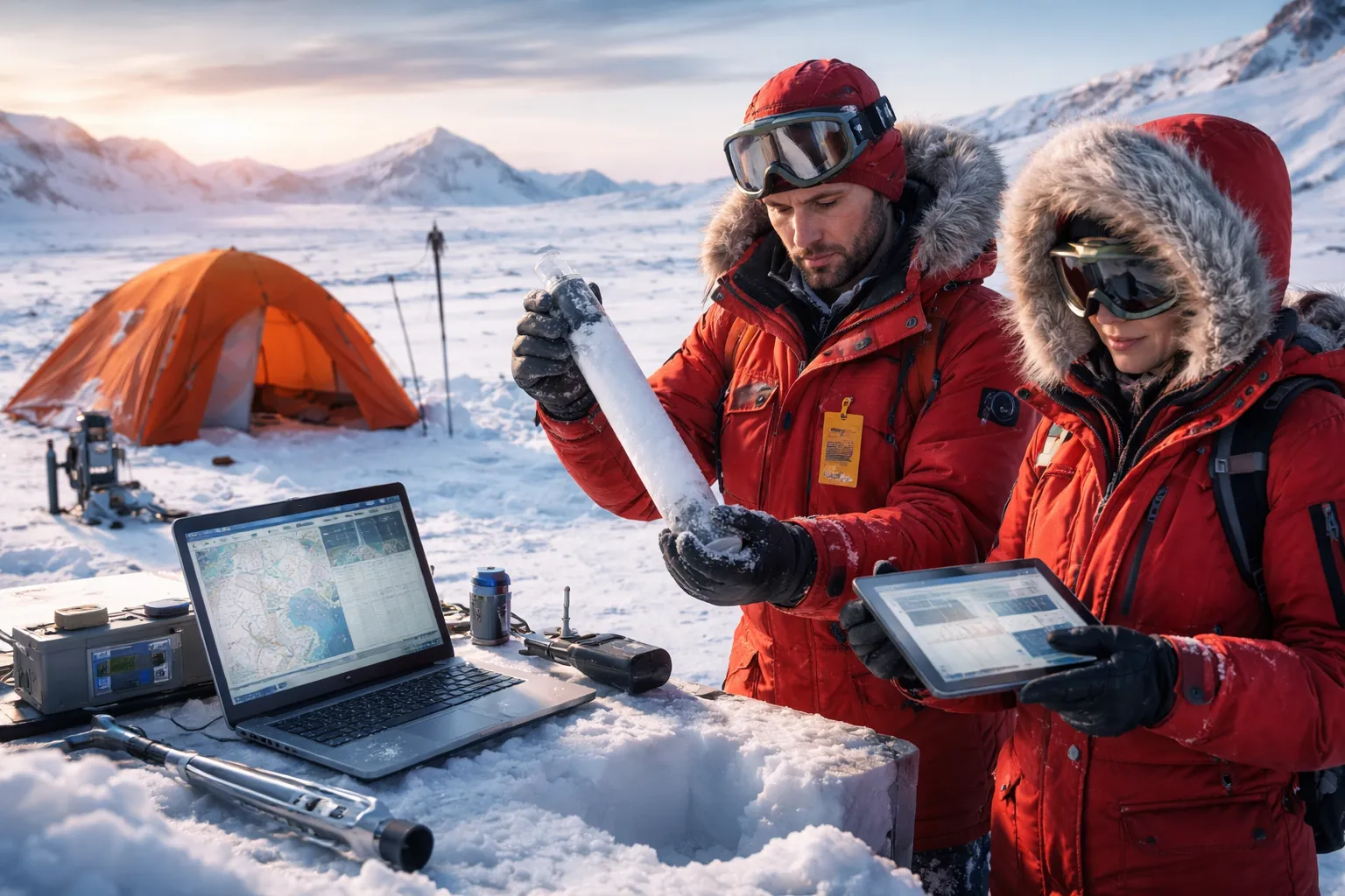
Many Arctic snow datasets began in the mid-20th century when researchers established weather stations across northern regions. These stations recorded measurements such as snow depth, snowfall accumulation, and seasonal melting patterns.
While these records provided valuable insights, the data collection methods were often limited by the technology available at the time. Measurements were sometimes taken manually, and many regions of the Arctic remained difficult to access.
As a result, some datasets relied on sparse observations or estimates from limited locations.
New Technology Reveals Hidden Gaps
Today, scientists have access to advanced satellite systems, airborne sensors, and automated monitoring tools. These technologies allow researchers to measure snow conditions across vast Arctic areas with far greater accuracy.
When modern observations are compared with older records, some inconsistencies become apparent. In certain cases, earlier measurements may have underestimated or overestimated snow depth due to limitations in equipment or environmental conditions at the time.
For example, wind-driven snow movement can create uneven snow layers, making it difficult to measure accurately using traditional ground-based methods.
The Challenge of Arctic Conditions
The Arctic is one of the most difficult environments on Earth for collecting scientific data. Extreme cold, strong winds, and long periods of darkness can complicate measurements.
Snow itself can also change rapidly. Wind can redistribute snow across large areas, creating deep drifts in some places and thin layers in others. These variations make it challenging to produce consistent long-term records.
Because early observations were often taken from a limited number of weather stations, they may not fully represent snow conditions across the entire Arctic region.
Why Scientists Are Reexamining the Data
Researchers are now revisiting historical snow records to ensure they align with modern measurements. By comparing older datasets with new satellite data and improved models, scientists can identify areas where adjustments may be necessary.
This process helps refine climate studies and ensures that long-term trends are based on the most accurate information available.
Reevaluating historical data is a common practice in science. As new tools become available, researchers often revisit earlier findings to improve their understanding of complex systems.
Implications for Climate Research
Improving Arctic snow data can enhance climate models that predict future environmental changes. Snow cover influences how much heat is absorbed by the Earth’s surface and how quickly ice melts during warmer months.
Accurate snow measurements also help scientists study interactions between the atmosphere, sea ice, and ocean currents.
By refining snow datasets, researchers can build more reliable models that better reflect how Arctic conditions are evolving.
The Role of Satellites in Modern Snow Monitoring
Satellite technology has transformed the way scientists observe polar environments. Modern satellites can measure snow depth, surface temperature, and ice coverage across large areas that were once impossible to monitor regularly.
These observations provide continuous data that helps researchers track seasonal changes and long-term trends.
When combined with ground-based measurements, satellite data creates a more comprehensive picture of Arctic snow conditions.
A Natural Part of Scientific Progress
Reevaluating decades of snow data does not mean earlier research was incorrect. Instead, it reflects how science evolves as new tools and techniques become available.
Every generation of technology improves the precision of measurements and expands the ability to observe remote environments.
By refining older datasets, scientists can build a clearer and more accurate understanding of the Arctic and its role in the global climate system.
Conclusion
The reconsideration of 60 years of Arctic snow data highlights the dynamic nature of scientific research. As technology advances, researchers gain new ways to measure and interpret environmental changes.
Modern satellite systems and improved monitoring tools are helping scientists identify gaps and inconsistencies in historical snow records. This process ultimately strengthens climate research by ensuring that long-term trends are based on the most accurate data possible.
As the Arctic continues to experience rapid environmental change, reliable snow data will remain essential for understanding the future of the planet’s climate.